- Printed on Tyvek® (synthetic)
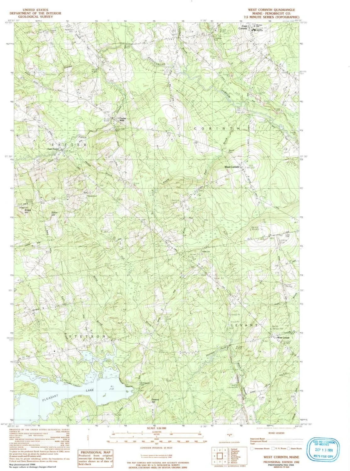
- USGS topographic map of West Corinth, ME, at 1:24000 scale. Lighter material. Waterproof. Tear-resistant. Foldable. Very durable. Perfect for backpacking and the outdoors.
- Cities, towns, villages: McGregor Mill,Exeter Mills,West Levant,East Exeter,West Corinth
- Mountains: Eaton Hill
- Valleys: Low elevation topographic features such as flatlands, river valleys, and canyons.


")


