- Printed on Tyvek® (synthetic)
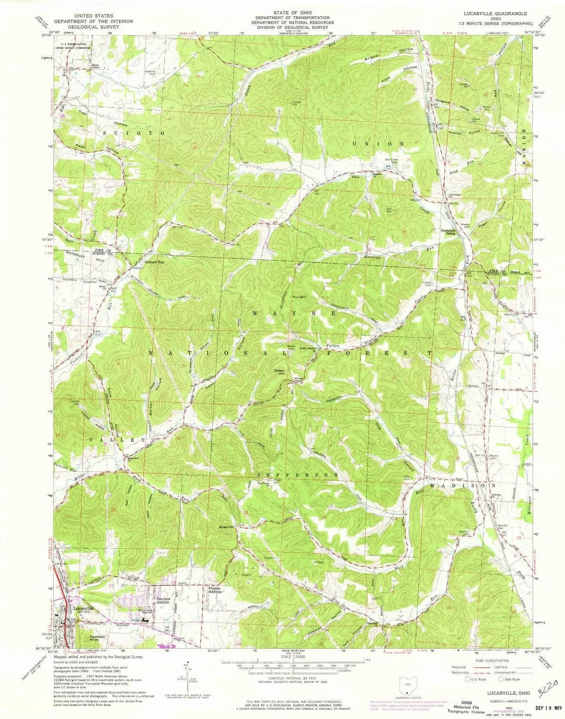
- USGS topographic map of Lucasville, OH, at 1:24000 scale. Lighter material. Waterproof. Tear-resistant. Foldable. Very durable. Perfect for backpacking and the outdoors.
- Cities, towns, villages: Tomlison Addition,Preston Addition,Lucasville,Cockrell Run
- Mountains: Gravel Hill,Diffen Hill,Haystack Knob,Rose Hill
- Valleys: Howards Hollow,Pyle Hollow,Musgrave Hollow,Nail Hollow,Koger Hollow,Andrew Hollow,Coon Hollow,Dace Hollow,Luckett Hollow,Barker Hollow,Brigner Hollow,Cook Hollow,Hog Hollow,Hockenberry Hollow


