- Printed on Tyvek® (synthetic)
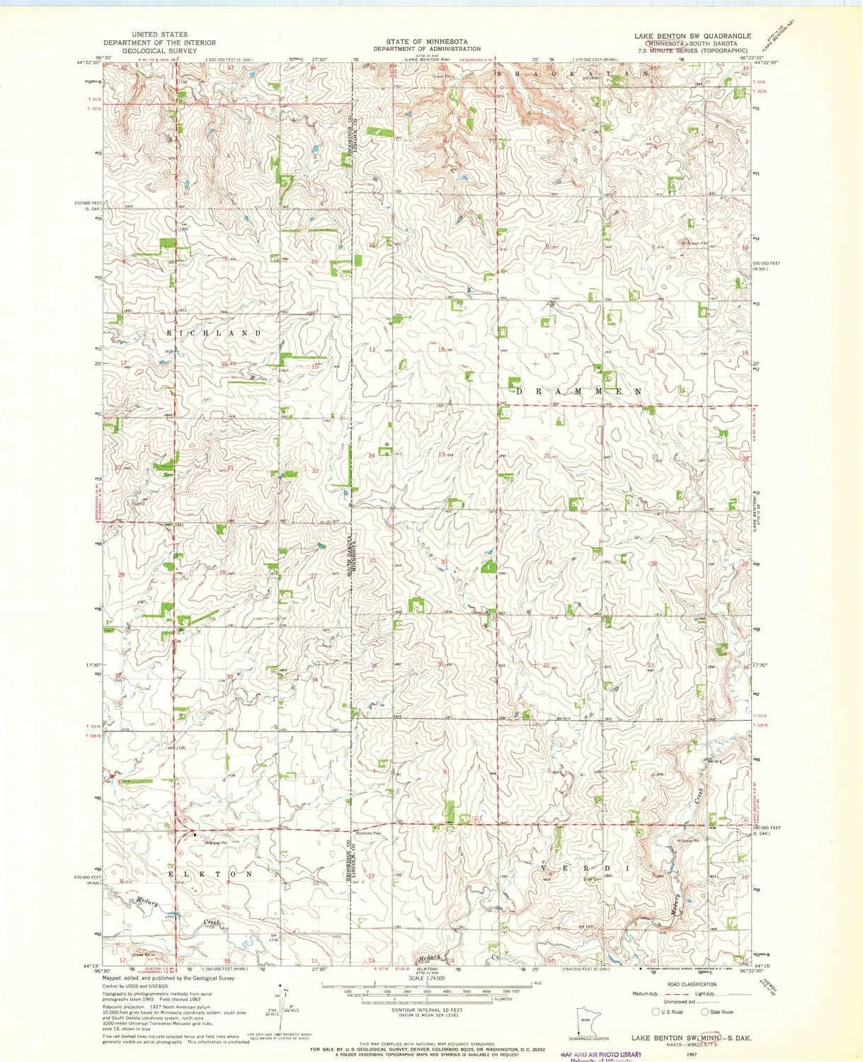
- USGS topographic map of Lake Benton SW, MN, at 1:24000 scale. Lighter material. Waterproof. Tear-resistant. Foldable. Very durable. Perfect for backpacking and the outdoors.
- Cities, towns, villages: Please see map preview to find populated places, townships, as well as roads and street names if available.
- Mountains: High elevation topographical features like high summits and peaks.
- Valleys: Low elevation topographic features such as flatlands, river valleys, and canyons.


