- KOMPASS Hiking map 810 Saxon Switzerland, Western Upper Lusatia 1:50,000: 4-in-1 hiking map, with active guide and detailed maps including map for... cycling. Ski touring. Cross-country skiing.
- Product Type: CARDS
- Brand: Kompass Katen
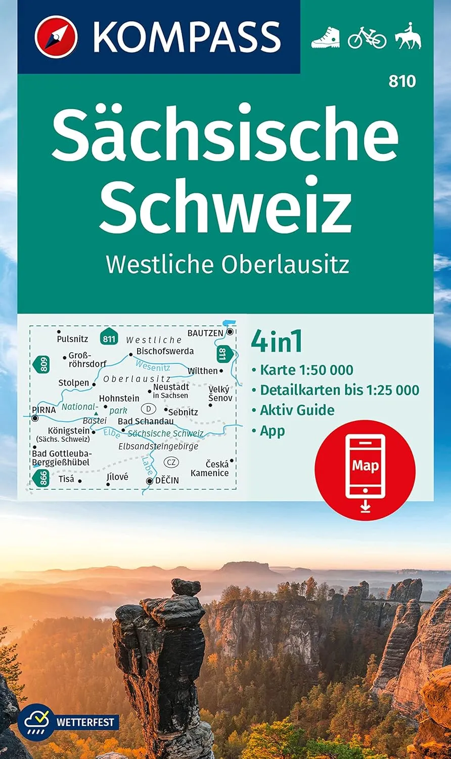
Hiking map Saxon Switzerland, Western Upper Lusatia: the map for hiking, cycling and many other activities in nature.
Kompass hiking maps are easy to read and still contain all the information you need for a perfect hiking tour, a bike lap or an excursion. They depict nature at the appropriate scale. Countless additional information is continuously reviewed and expanded by the cartography team. The precise cartography includes all official hiking trails with name and path number (such as long distance paths), bicycle paths (with trails), via ferratas, inns and huts, car parks, bus & train, ski tours and cross-country trails, springs, swimming spots and much more. This makes the map ideal for discovering new destinations, planning tours and orienting on the go. An intuitive map image of the landscape is created by the depicted vegetation, contour lines, rock drawing as well as the shadowing of the mountains.
Features of the hiking map Saxon Switzerland, Western Upper Lusatia:
- Scale 1:50,000: 1 cm on the main map corresponds to 500 m in nature.
- Thanks to the tear-resistant and weatherproof paper, the map survives any weather
- Map cut-out can also be used offline in the compass hiking map app.
- Active guide: additional booklet with detailed maps in scale of 1:25,000.
About the region: Saxon Switzerland and the Western Upper Lusatia impress with bizarre rock formations and picturesque river valleys. Here you will find hiking trails along the Elbe and through dense forests.


 (Camouflage, YETI 35) Camping yeti seat Cushion Handle Beach Chair ice Box chests and Coolers Foam Cooler Boat Seats")


")

