- Printed on Tyvek® (synthetic)
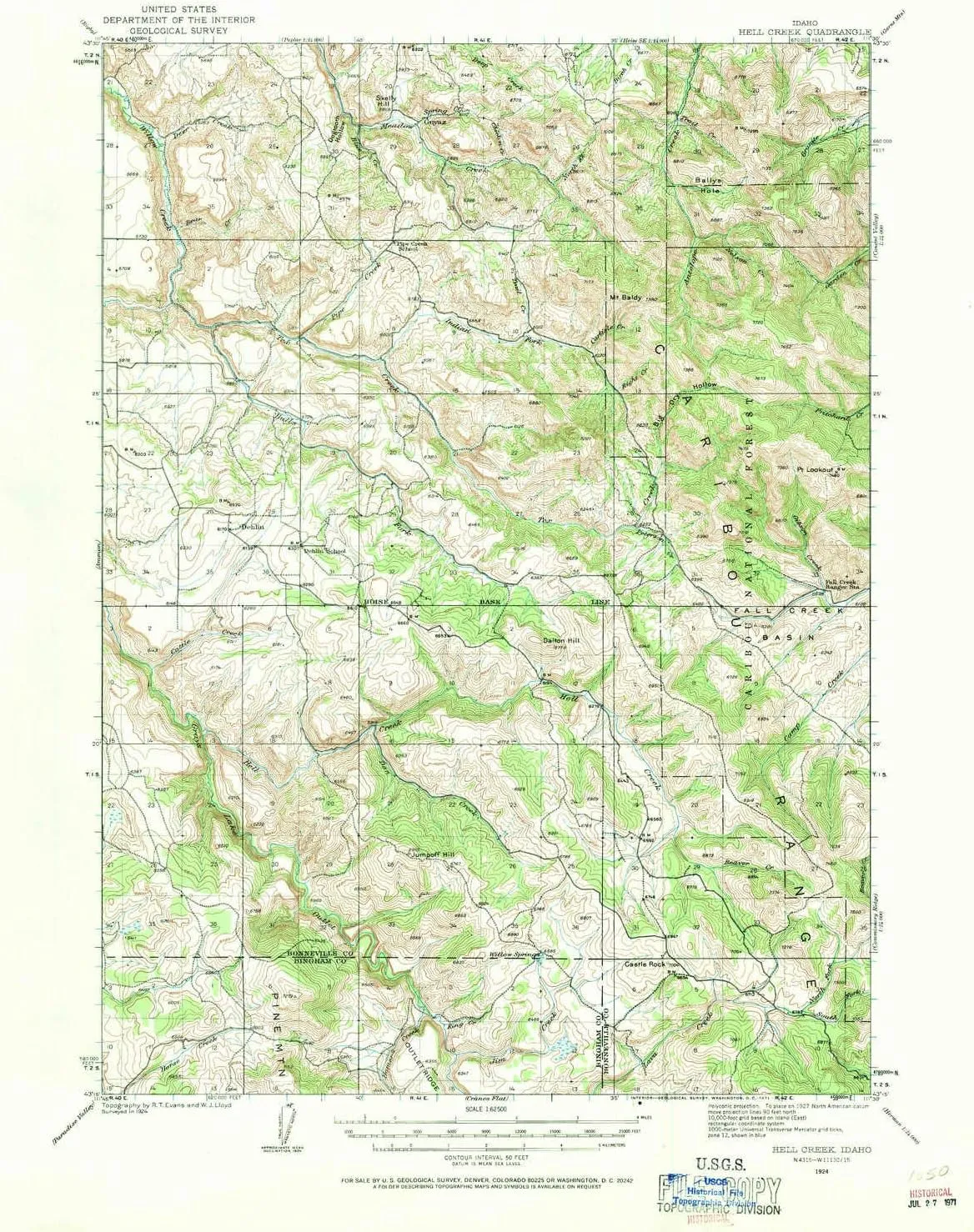
- USGS topographic map of Hell Creek, ID, at 1:62500 scale. Lighter material. Waterproof. Tear-resistant. Foldable. Very durable. Perfect for backpacking and the outdoors.
- Cities, towns, villages: Dehlin,Guyaz
- Mountains: Little Horse Butte,Castle Rock,Red Butte,Point Lookout,Pine Mountain,Jumpoff Hill,Big Horse Butte,Skelly Hill,Mount Baldy,Dalton Hill
- Valleys: Dogtooth Hollow,Bates Canyon,Big Dry Hollow,Sawmill Canyon


")

